The primary function of transmission pipelines for petroleum is to provide long distance transport of liquid fuels to where there is demand for them. The planning and construction of pipelines can be a long and complicated process because pipelines and the land needed for their rights-of-way impact property owners, land resources, water resources, air quality, and wildlife along the proposed routes. These impacts may be magnified if multiple pipelines are built concurrently.
The rapid expansion of natural gas production due to the development of the Marcellus shale with hydraulic fracturing has been accompanied by proposals for new transmission pipelines. Although there is a moratorium on natural gas development in the Delaware River Basin (DRB), at least eight proposed transmission pipeline projects will cross the DRB in order to bring natural gas produced in the Marcellus to demand centers on the East Coast, or otherwise connect to the larger petroleum products pipeline network. Each proposed interstate natural gas pipeline must undergo a review by the Federal Energy Regulatory Commission (FERC), which includes an environmental impact analysis. The potential environmental impacts of pipeline construction include land cover change, deforestation, sedimentation and erosion, water quality degradation, stream degradation, wetland loss, and air emissions, among others. The environmental analyses in the FERC approval process document many of these potential impacts, and the proposed measures to mitigate these impacts during construction and operation for each pipeline project. However, the environmental analyses for the individual pipeline projects do not consider the cumulative impact of multiple independent pipeline projects proposed concurrently in the same geographic area – in this case, the DRB.
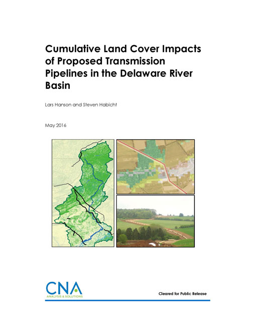
In this report, we investigated the cumulative land cover change impacts for proposed transmission pipelines within the DRB. Specifically, using geographic information systems (GIS) methods, we investigated total land disturbance, loss of forest and wetland area, and stream crossings for eight proposed projects. This work was funded by the Clean Air Council, which requested that CNA provide an estimate of the land area affected by the eight proposed pipeline projects’ rights-of-way (ROW) in the DRB and, especially, an estimate of the total forest area that could be lost as a result of pipeline construction.
Download reportUnlimited distribution. Cleared for Public Release.
Details
- Pages: 62
- Document Number: IRM-2016-U-013158
- Publication Date: 5/1/2016
