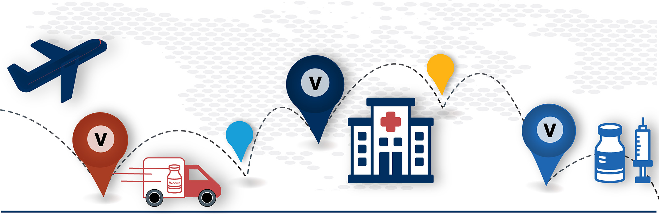
DISTRIBUTION |
|
ADMINISTRATION SITE ACCESSVULNERABILITY |
|
ATTITUDEVULNERABILITY |
|---|---|---|---|---|
|
Proximity to air travel hubs with cold storage (CEIV Pharma certified airports, major UPS and FedEx hubs) Proximity to truck distribution facilities (UPS & FedEx ground freight; McKesson distribution centers) Annual frequency of severe weather and natural hazards
|
|
Accessible vaccination capacity: Inverse-distance weighted vaccination capacity at existing health care sites (hospitals, community health centers, clinics, pharmacies) within 50 miles Distance to closest vaccination site (hospitals, community health centers, clinics, pharmacies) Population functional access characteristics: vehicle access, internet access, insurance coverage, % completing annual check-up |
County/state level vaccine acceptance based on the CMU Delphi Group COVID-19 survey Census Bureau Household Pulse Survey vaccine acceptance rates, disaggregated to counties based on demography Tract-level difference from statewide flu vaccination rates in 2018 |
COVID-19 Vaccination Vulnerability Layer
The COVID-19 VACCINATION VULNERABILITY LAYER helps states, counties, and cities identify areas that may require more vaccination resources and outreach. This Census tract-level data product, developed by CNA, identifies areas greater vulnerability across three themes: vaccine distribution challenges, physical and functional access to vaccine administration sites in the health care sector (hospitals, clinics, pharmacies, etc.), and attitudes toward vaccination.
Local public health districts play a key role in promoting both speed and equitable access to vaccines—particularly in areas
with fewer vaccination sites and populations with functional access challenges. This data layer can help identify where these places and populations are located. It can help target additional resource deployments such as mobile vaccination clinics or public outreach campaigns.
Click the map above to see an interactive, view-only version of the data layer and zoom in to your community. (NOTE: We are currently able to share the data layer with state, local, tribal, and territorial governments.)
THE COVID-19 VACCINATION VULNERABILITY TOOL CALCULATES:
This product was funded in part by the U.S. Department of Homeland Security Cybersecurity and Infrastructure Security Agency (CISA) in support of CISA’s COVID-19 supply chain risk mitigation efforts. This product does not represent any formal Agency policy or position and CISA does not endorse any individual, organization, tool, resource, or product referenced herein.